Welcome to Bharathi Geo Tech Private Limited
Bharathi Geo Tech Private Limited (BGT) is a multi-disciplinary research and consulting firm. We perform research and provide services in the following disciplines: (a) Climate Change, (b) Geomatics; (c) Water Resources Forecasting & Conservation; (d) Security & Emergency Information Management Systems; (e) Utility Systems Database Design & Maintenance;(f) manpower empowerment.
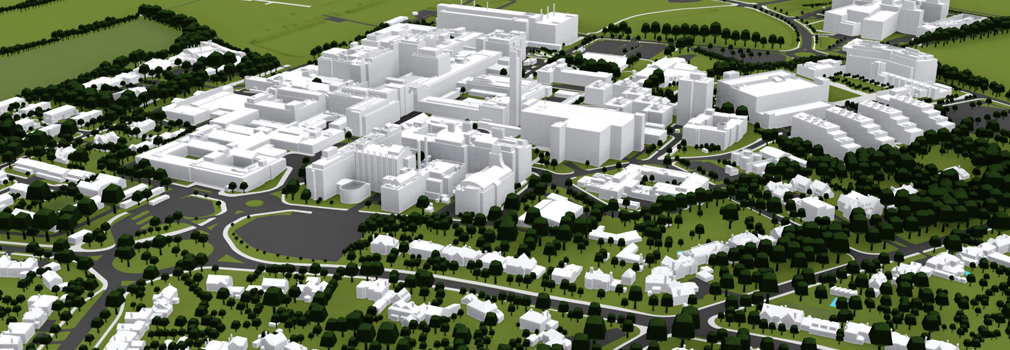
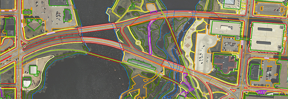
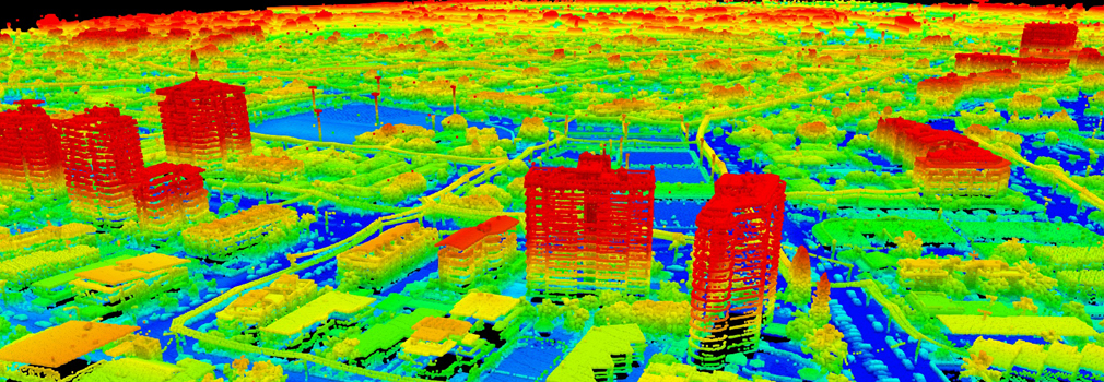
BGT has specialized in Land Use Land Cover Change Analysis ,Monitoring, Reporting, and Verification (MRV) of Reducing Emissions from Deforestation and Forest Degradation (REDD) programs, high accuracy GPS surveys, hydrological modeling, digital Photogrammetry, LiDAR surveys & data analysis , Ortho photo production, photo control surveys, engineering mapping, parcel data conversion, development of Comprehensive Geographic Information Systems (C-GIS), and creation of Geodatabase. To provide services and perform research in the above listed disciplines worldwide, Bharathi Geo Tech Private Limited (BGT) having most experienced team to manage the task with quality output.